Spotted
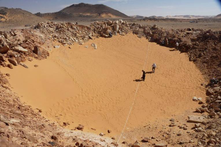
While having a closure look on the image, de Michele observed a crater that he estimated it to be under 150 feet in diameter. He came up with a conclusion that the crater was a place where a meteorite smashed. Less than 180 sites have been reported previously in which de Michele’s discovery would be added.
Back To Julian

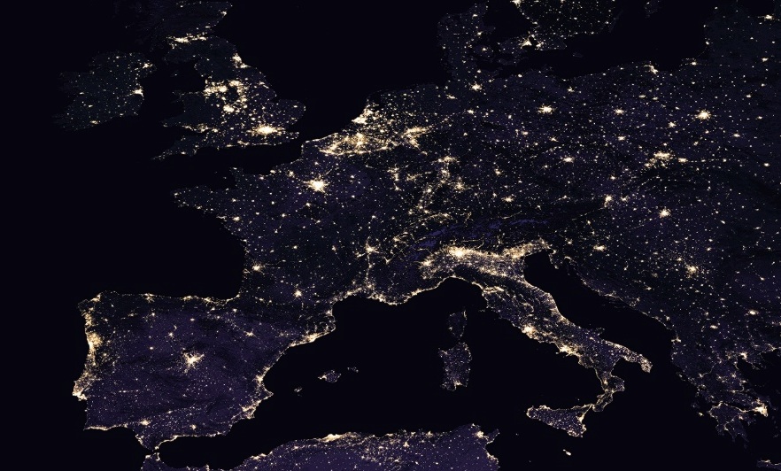
Dr. Julian Bayliss is a technophile and at that time was sure regarding the potential of Google Earth. He had been using the program over some 15 years so that he could track the upper reaches of the African Continent. While working on his given task, he recorded some ingenious observations.
Monadnock
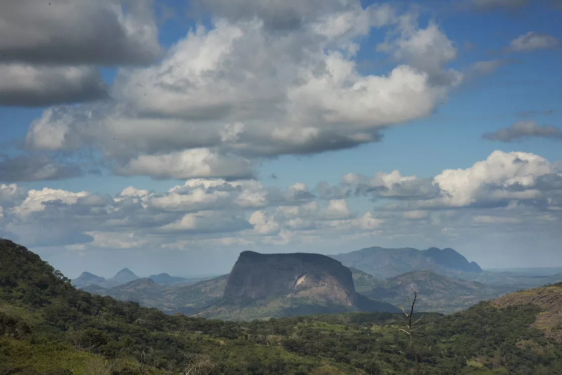
In 2012, Bayliss, while glancing at Google Earth, observed something unusual on the top of a mountain in Mozambique. The mountain in observation was Mount Lico, technically referred to as an inselberg or a monadnock. These two terms normally relate to lone rock hills, ridges or mountains that jut sharply into the sky from an otherwise flat landscape.
The Crater
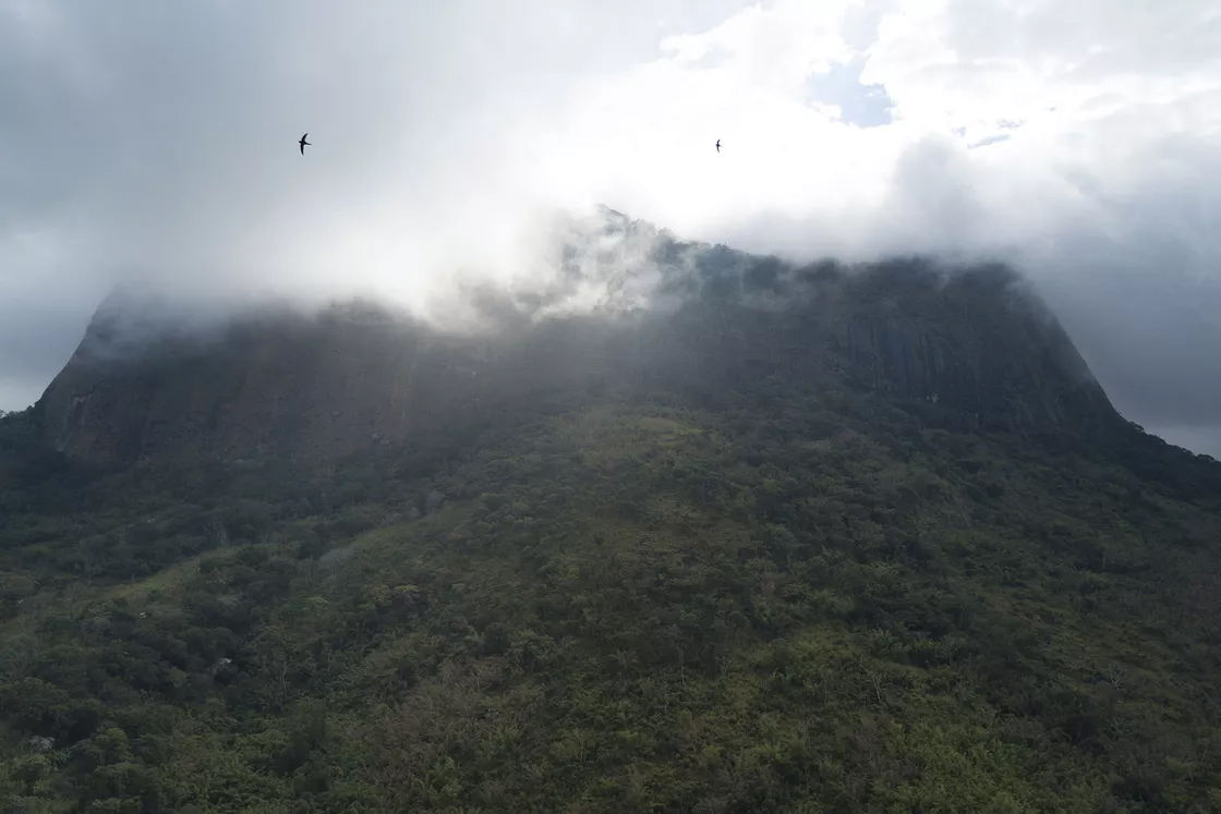
Mount Lico, a mountain of 3,600 feet has a volcanic crater on the top of it. The barrier to this crater was a huge sheet of rock, measuring as high as 2,300 feet. The crater was unexposed and away from the human being. It was difficult to enter the crater because of the barriers present there.
Rainforest
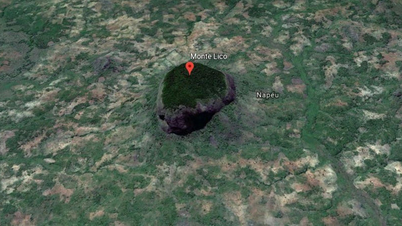
Though it was a crater in Julian’s opinion, Google Earth changed his perspective by showing him imagery. Julian then doubted his conclusion and started to dig further. The imagery that appeared was of a forest inside the crater surrounded by 2,300 feet hard rocks. It was a hidden rainforest, that he wanted to explore.
More Discoveries
Bayliss’ rainforest discovery in Mount Lico was not his first discovery. In 2005, he recorded another mountain that bears a forest. Mount Mabu, vicinity of Mount Lico, stands high at around 5,600 feet. The rainforest has been discovered through Google Earth, hence, the forest is named Google Forest.